Integrated Remote Sensing Solutions
We offer Integrated Hyperspectral imaging solutions customized to your needs in remote sensing applications, designed for both manned and unmanned aerial platforms.
Our Integrated Remote Sensing Solutions utilize advanced algorithms and technologies to extract valuable insights from hyperspectral and LIDAR remote sensing data, empowering industries to make critical decisions and optimize their operations.
With our expertise in hyperspectral imaging technology, we provide comprehensive solutions for hyperspectral remote sensing data acquisition, analysis, and interpretation. Our integrated solutions enable you to benefit from high-resolution spectral information from hyperspectral remote sensing data for critical decisions in agriculture, environmental monitoring, urban planning, and geological exploration.
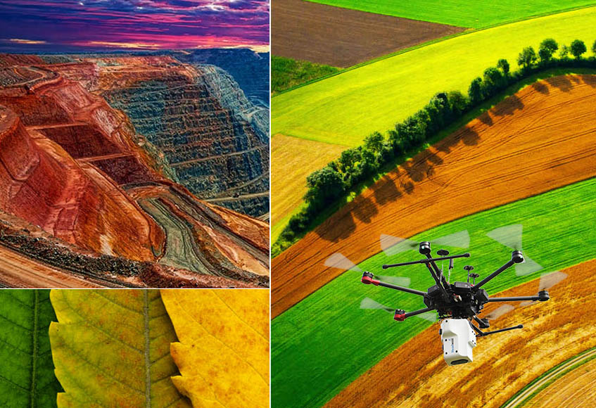
Our Integrated Remote Sensing Solutions are actively used in:
- Precision Agriculture
- Environmental monitoring
- Forestry
- Urban planning
- Disaster management
- Mining and exploration
- Infrastructure monitoring
-

- Visratek Integrated Remote Sensing Solutions
-
- Visratek Integrated Remote Sensing Solutions
-
- Visratek Integrated Remote Sensing Solutions
-
- Visratek Integrated Remote Sensing Solutions
-
- Visratek Integrated Remote Sensing Solutions
-
- Visratek Integrated Remote Sensing Solutions
-
- Visratek Integrated Remote Sensing Solutions
-
- Visratek Integrated Remote Sensing Solutions
Our Success Story
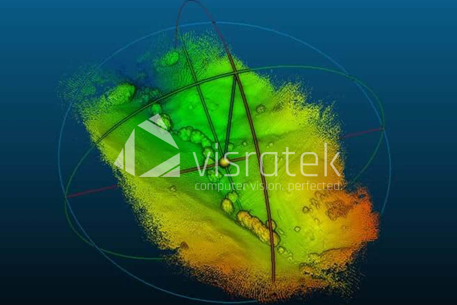
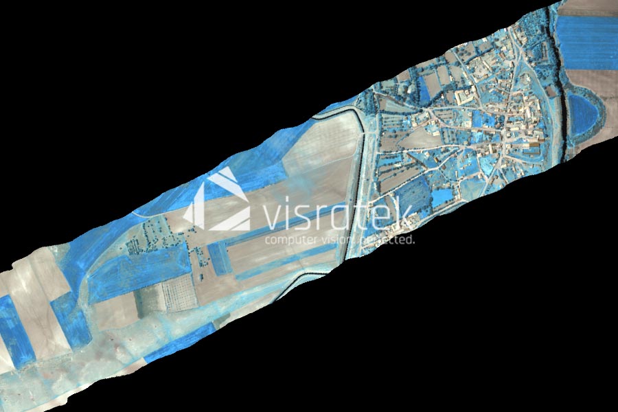
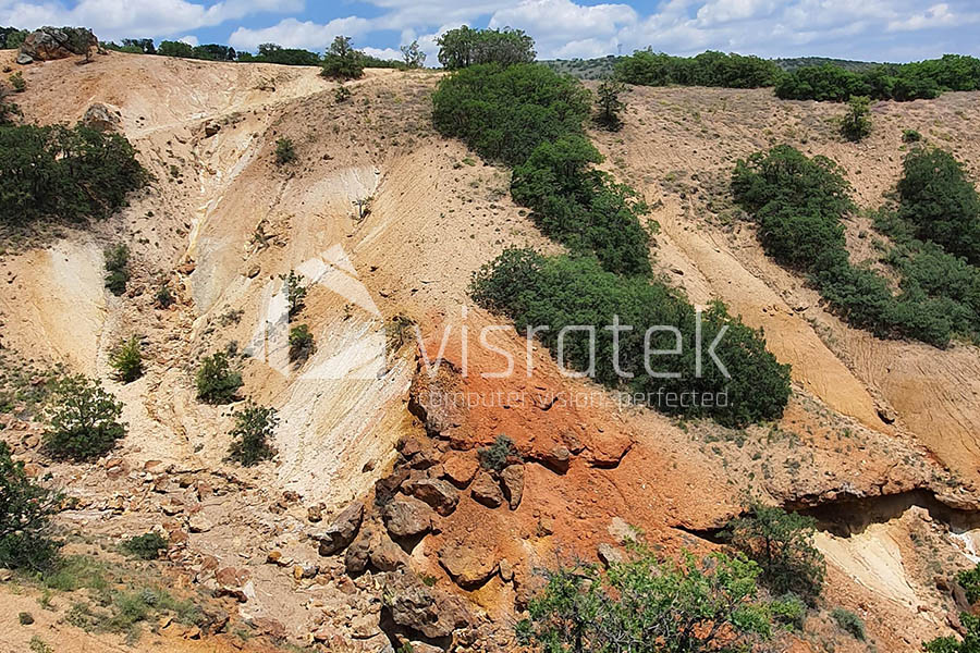
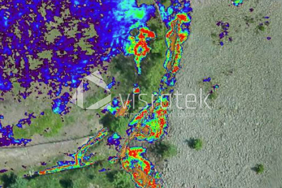
Mineral Exploration in Gold Mining Fields
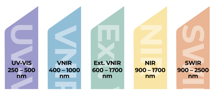
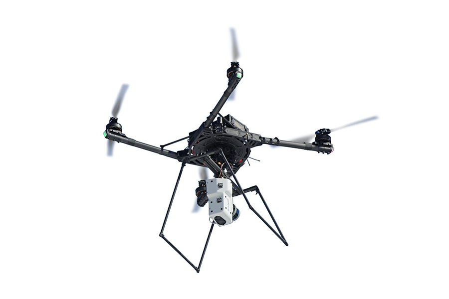
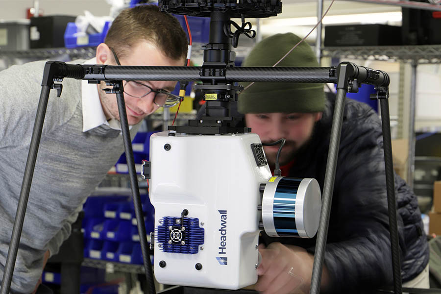
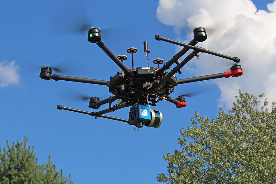
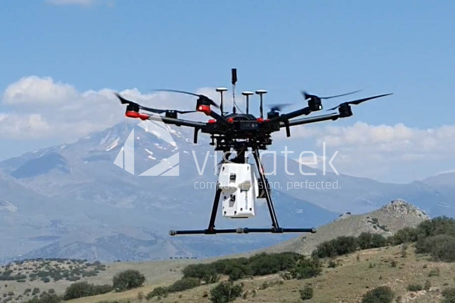
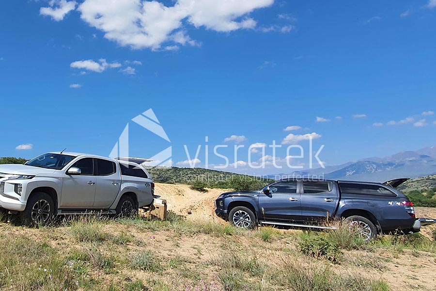
In order to support the geological exploration activities of a leading company in the mining sector, we provided Headwall Co-Aligned HP VNIR-SWIR (400-2500 nm) hyperspectral sensor and 16-channel LIDAR integrated on a DJI M600 Pro UAV. Flight and data processing training sessions were conducted in Turkey.
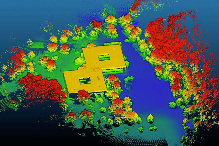
Our solution serves to support our client in their gold mining fields, as it allows for comprehensive and accurate hyperspectral data acquisition. The Headwall Co-Aligned HP VNIR-SWIR (400-2500 nm) hyperspectral sensor, with its high spatial resolution and spectral range, is capable of identifying minerals and other geological features that may be of interest. The optional 16-channel LIDAR, on the other hand, provides precise distance measurements, which can be used to create detailed 3D models of the terrain.
In conclusion, our provision of integrated airborne hyperspectral imaging solution and training enabled our customer to conduct their geological exploration activities with greater efficiency, accuracy, and safety.
-
- Mineral Exploration with SWIR Hyperspectral Imaging
-
- Mineral Exploration with SWIR Hyperspectral Imaging
-
- Mineral Exploration with SWIR Hyperspectral Imaging
-
- Mineral Exploration with SWIR Hyperspectral Imaging

-
- Mineral Exploration with SWIR Hyperspectral Imaging